Driving Instruction to Camp

Find a good California Map. Locate Kernville
(we're about 32 miles north --- north of old Johnsondale).
Follow your map as well as you can to get to us.
..
-or-
..
Use these map coordinates centered on
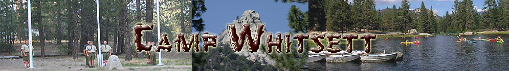
Camp Whitsett - Camp Headquarters
.
36 degrees north latitude (exactly) 118 degrees, 32 minutes, 17 seconds west longitude
.
and use Mapquest, Yahoo or similar Web assistance
(we have NO street address so you can't find us that way on the map sites).
.
-or-
DIRECTIONS FROM THE SOUTH .
| A) | Take Highway 99 (Highway 405/5 in So. California) to Bakersfield. From Bakersfield, go east on Highway 178 to Lake Isabella. Follow the highway to the town of Kernville. . |
| A1.1) | Take Highway 15 to 395. Then Highway 395 north to Highway 178 at Inyokern. Travel West to Highway 14. Then South to Highway 178 . |
| A1.2) | Take Highway 14 to Highway 178. . |
| A2) | Go west on Highway 178 into the Kern Valley. Go toward Lake Isabella, turn on the Kernville turnoff. Travel around the back of Lake Isabella to Kernville. . |
B) Go north out of Kernville, about 28 miles. The "R" Ranch will be to your left. Continue on for several hundred yards until you come to a fork. The main road will curve up to the left, TAKE THE RIGHT HAND FORK, Forest road 22S82. Continue for about three miles. You will cross three bridges over three streams, and will pass three campsites: Campground 1, 2 & 3. The road will curve sharply to the right a short distance past campsite 3. Whitsett's entrance is just beyond this curve, on the right.
..
FROM THE NORTH
.
Go south on Hwy. 99. In Bakersfield, go east on Hwy. 178 (see A) above)
..
ALTERNATE ROUTE - FROM THE NORTH. Go south on Highway 99 to J22, the DUCOR exit. Go east through DUCOR and wind up through California Hot Springs and on toward Johnsondale. You will travel over Parker Pass, passed the Western Divide highway turnoff, and down, once again, toward Johnsondale. Near the bottom of the road, you will see a turnoff to the left onto 22S82. This Forest road is the turnoff mentioned above (if you get to the "R" Ranch, Johnsondale, turn back). Continue for about three miles. You will cross three bridges over three streams - and will pass three campsites: Campground 1, 2 & 3. The road will curve sharply to the right a short distance past campsite 3. Whitsett's entrance is just beyond this curve, on the right.. ..
.
WHITSETT SIERRA - Come right into Camp...